Lhasa Tour
- Elevation: 3,490 m (11,450 ft)
- Address: Tibet, China
- District:525 km2
- Airports: Lhasa Gongga International Airport
- Population:0.87 M
- Urban: 60 km2 (20 sq mi)
- temperature: subtropical monsoon climate
Lhasa Tour
Lhasa, also known as Luoxe and Sunshine City, is a prefecture-level city and capital under the jurisdiction of the Tibet Autonomous Region. It is an international tourist city with snow-covered plateaus and ethnic characteristics approved by the State Council. The total area of the city is 31,662 square kilometers. As of 0:00 on November 1, 2020, the permanent population of Lhasa is 867,891. In 2020, Lhasa will realize a regional GDP of 67.816 billion yuan.
Lhasa is located in southwestern China, the central part of the Tibetan Plateau, the northern side of the Himalayas, and the plains of the middle reaches of the Lhasa River, a tributary of the Yarlung Zangbo River. The Lhasa River flows through it and flows into the Yarlung Zangbo River in the southern suburbs. It is the political, economic, cultural, and scientific and educational center of Tibet, as well as Tibetan Buddhism. Holy land. At an altitude of 3650 meters, the weather is sunny throughout the year. The sunshine time is more than 3000 hours throughout the year, which is known as the “Sunlight City”. Lhasa is rich in various resources and has obvious resource advantages compared with other cities in the country and the autonomous region.
Lhasa is one of the first national historical and cultural cities. Lhasa is famous for its beautiful scenery, long history, unique customs and folklore, and strong religious colors. In the 7th century, Songtsen Gampo unified Tibet and moved the political center from Shannan to Lhasa. Has been awarded as China’s outstanding tourist city and European tourist’s favorite tourist city
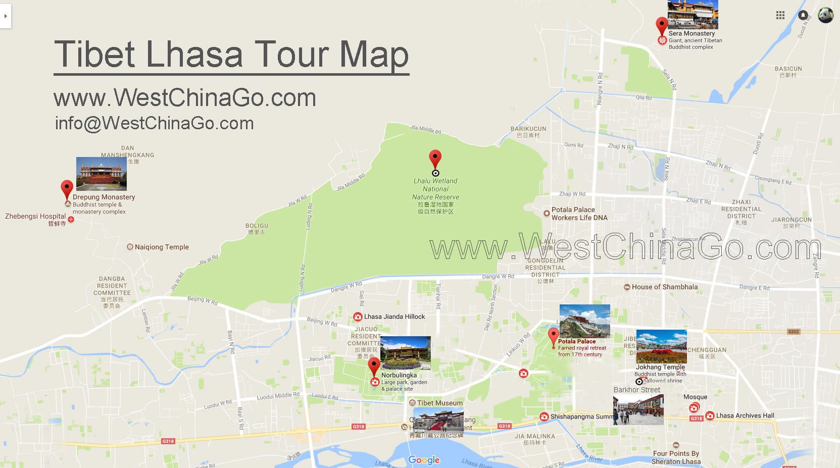
Lhasa Tourist Attractions
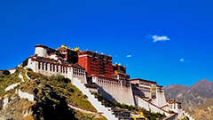
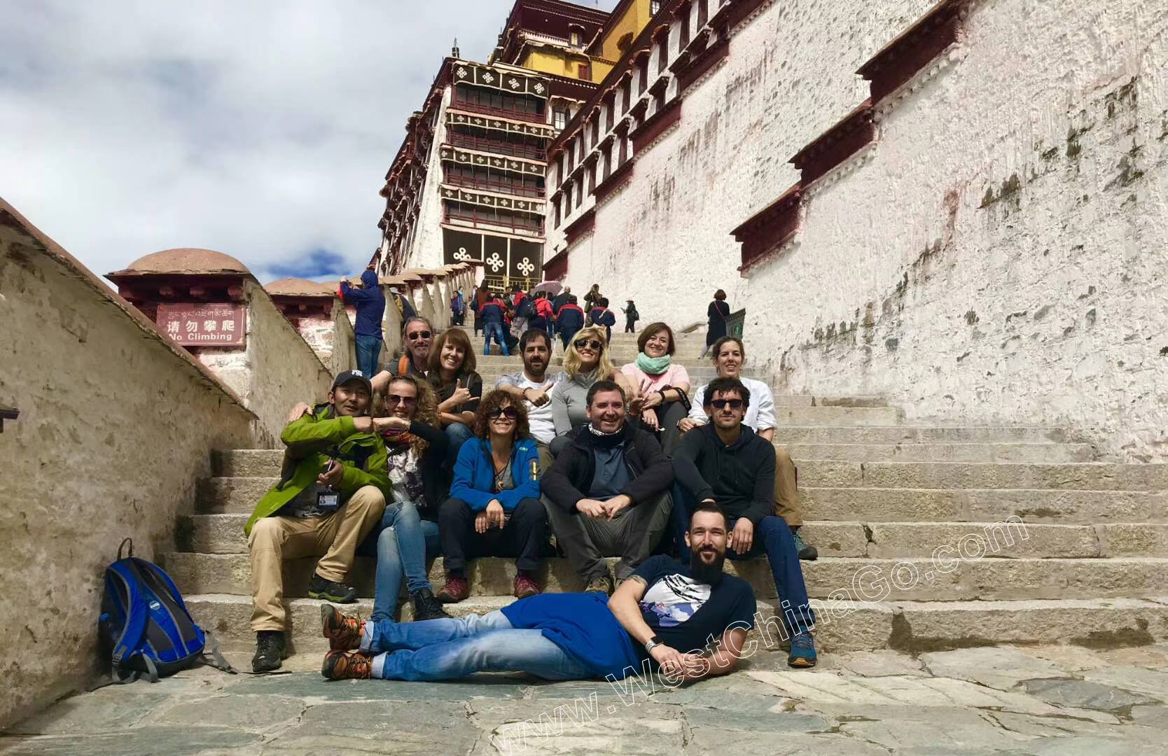
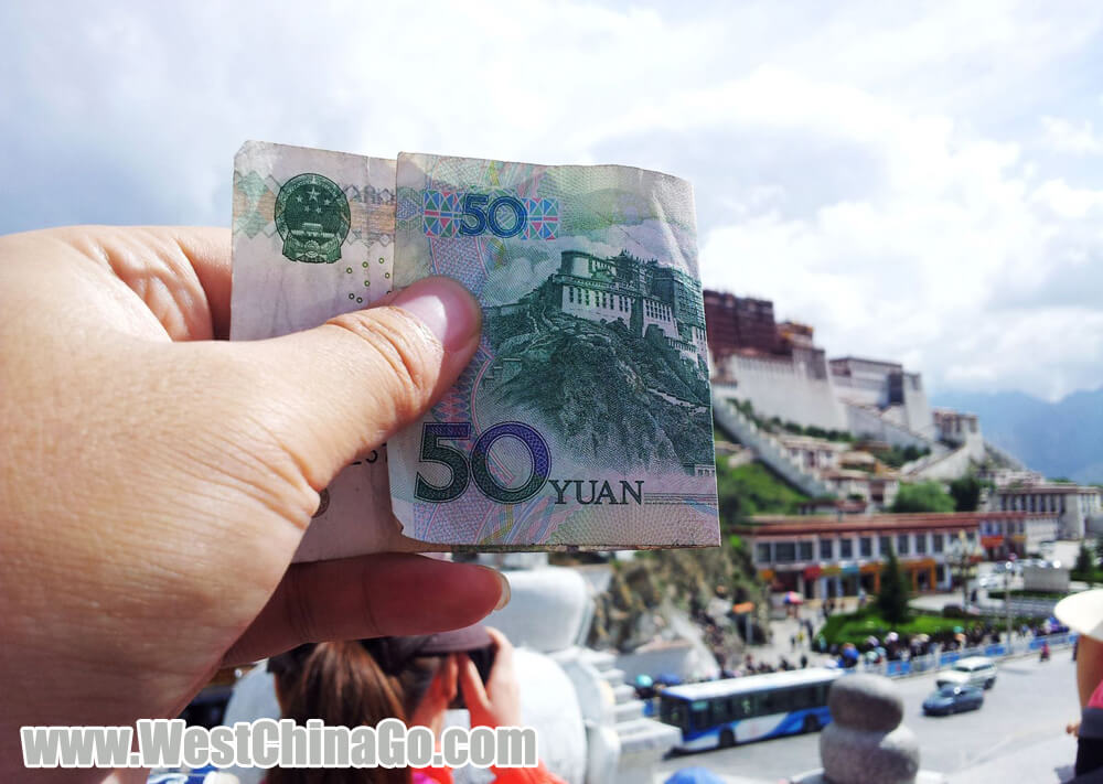
Potala Palace
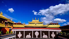
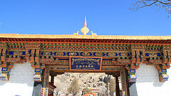
Jokhang Temple
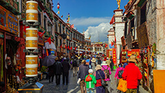
Barkhor Street
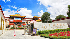
Sera Monastery
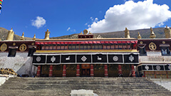
Drepung Monastery
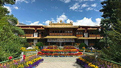
Norbulingka
Tibet Museum
Lhasa Tourist Map
Lhasa Tour Video
Lhasa Tour Photo